Maps and Views (6)
![Submit a Featured Link: [$19.00]](/images/AddF_Button.gif)
![Submit a Regular Link: [$9.00]](/images/AddR_Button.gif)


 The Colonies of Connecticut and Rhode Island The Colonies of Connecticut and Rhode Island   - Map from the late 1700's showing counties and townships in the two states. Provided by the University of Connecticut Map and Geographic Information Center's Historical Scanned Map Collection. - http://magic.lib.uconn.edu/cgi-bin/MAGIC_HistDisp.pl?&Geog=37800&Loc=0000&Dir=/magic/data/image/37800/hdimg/all/&File=37800.0000.1758.s1000.Kitchin.1    New England Map New England Map - Showing towns as they existed in 1675 in Massachusetts, Connecticut and Rhode Island. - http://www.mayflowerfamilies.com/town_names/new_england_map.htm Historic USGS Maps of New England - From the U.S. Geological Survey. - http://docs.unh.edu/nhtopos/nhtopos.htm Old maps of New England and New York - Reproductions of old maps showing family names towns in New York, Massachusetts, New Hampshire, Vermont, Maine, Rhode Island, and Connecticut. 1860s-1870s. - http://www.oldmapsne.com The Cartographic Creation of New England - Collection of early maps that chronicles the effects of European exploration and settlement in north-eastern North America. - http://www.usm.maine.edu/~maps/exhibit2/ Territorial Growth 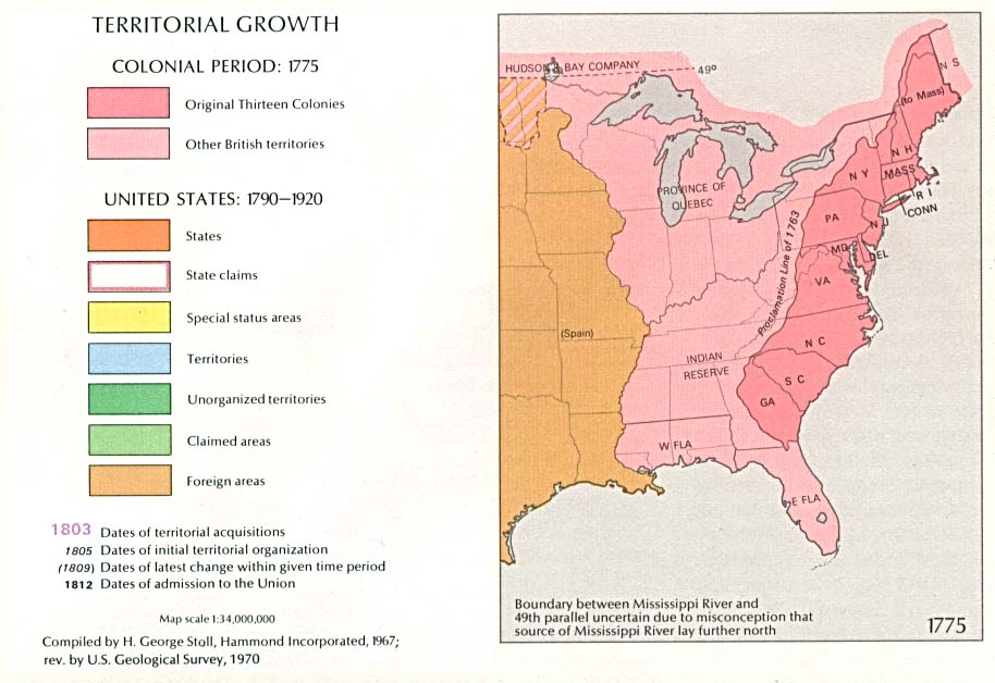 - Map showing the original Thirteen Colonies, British territories, states, state claims, territories and foreign areas. - http://www.lib.utexas.edu/maps/united_states/us_terr_1775.jpg |
|