Maps and Views (5)
![Submit a Featured Link: [$19.00]](/images/AddF_Button.gif)
![Submit a Regular Link: [$9.00]](/images/AddR_Button.gif)


|
|
 Kite Aerial Photography

- Photos (mostly of Berkeley & environs) taken from a kite's-eye view
- http://www.arch.ced.berkeley.edu/kap/kaptoc.html


Map of Oakland and Berkeley circa 1917 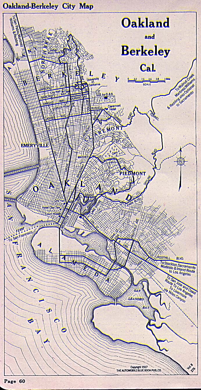 - Automobile Blue Book publication showing key transit routes. - http://www.lib.utexas.edu/maps/historical/oakland_1917.jpg    Historical View of Berkeley Historical View of Berkeley - A bird's-eye view of the city circa 1909. - http://memory.loc.gov/cgi-bin/query/r?ammem/gmd:@field(NUMBER+@band(g4364b+pm000180)) UC Berkeley Webcam - Four live cameras perched atop various UC Berkeley buildings provide a panaromic view of the campus and the city. - http://www.berkeley.edu/webcams/ Map of Berkeley Parks - Interactive, clickable map listing all Berkeley Parks and their features. - http://www.bpfp.org/ParkGuide/MapOfBerkeleyParks.htm |
|