Maps and Views (4)
![Submit a Featured Link: [$19.00]](/images/AddF_Button.gif)
![Submit a Regular Link: [$9.00]](/images/AddR_Button.gif)


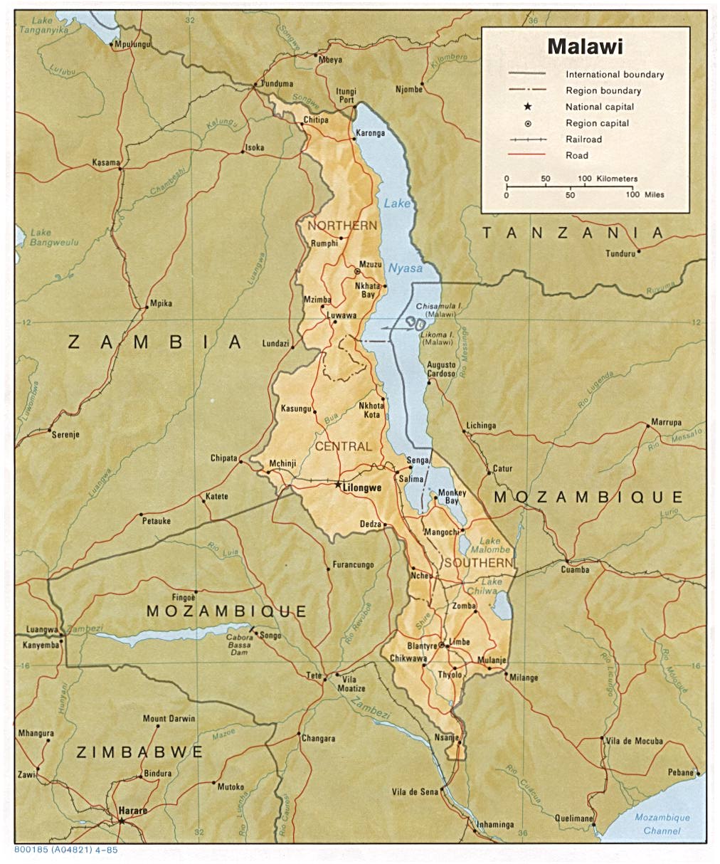
 Map of Malawi (1985) Map of Malawi (1985) 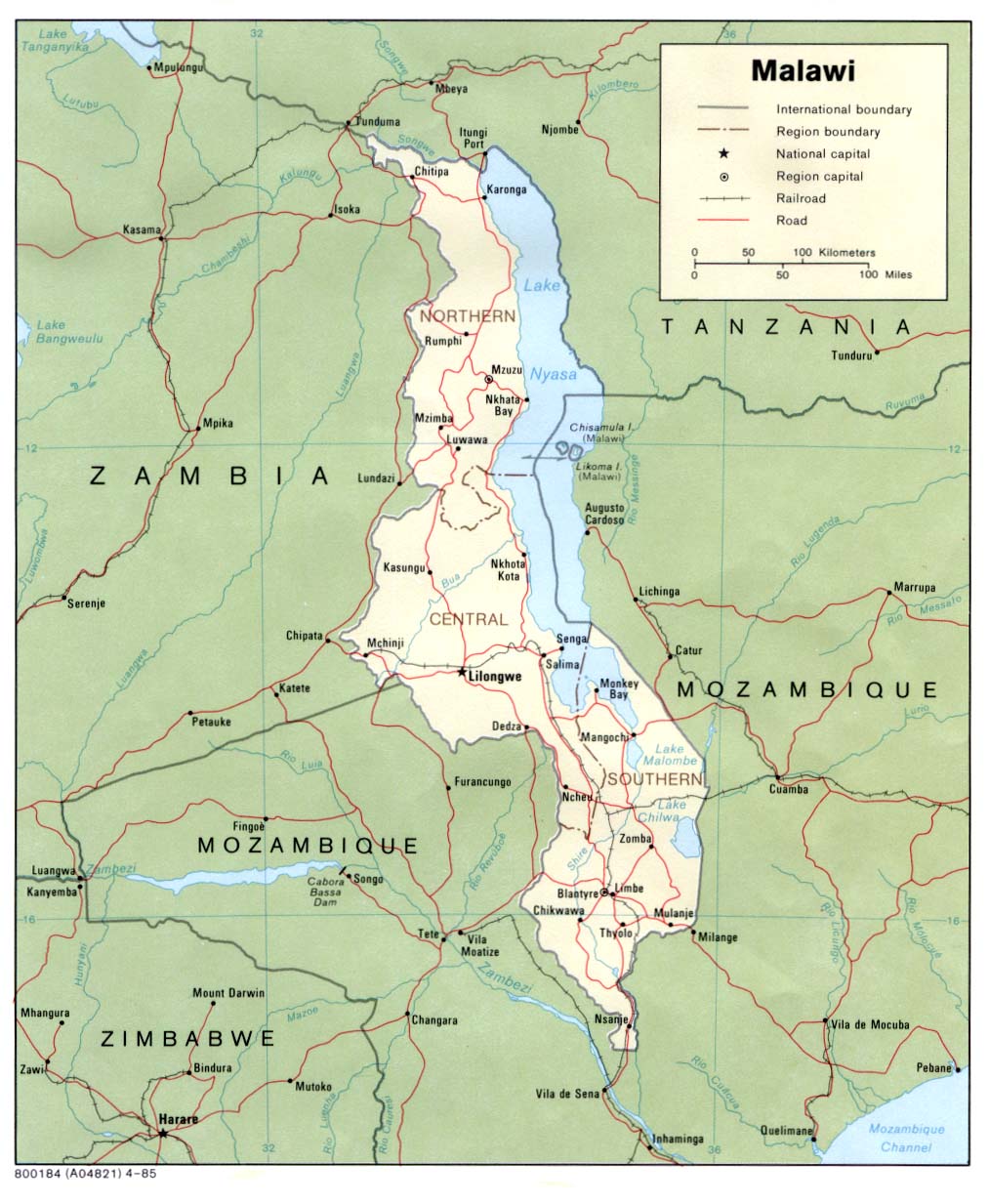  - Political map of Malawi showing some principle roads and railways, national/international boundaries and main rivers. No relief. Scale approx 1:500,000 - http://www.lib.utexas.edu/maps/africa/malawi_pol85.jpg    Map of the City of Blantyre Map of the City of Blantyre 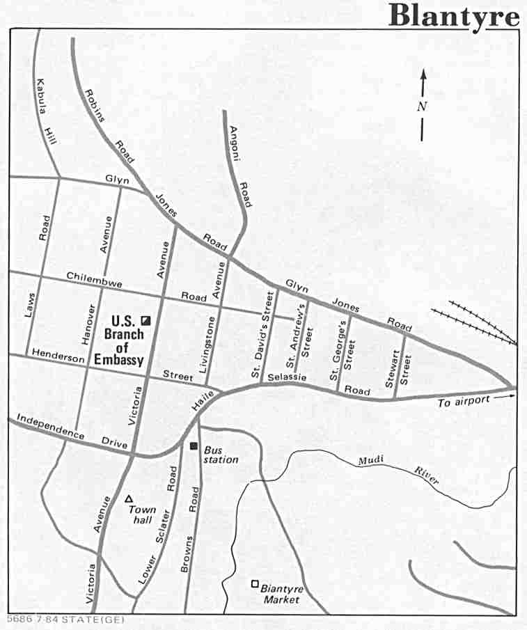 - State (GE) (1984). - http://www.lib.utexas.edu/maps/world_cities/blantyre.jpg |
|