Web Directory
 

Netherlands Antilles and Aruba

  Link Details for: Netherlands Antilles and Aruba
Link Title: Netherlands Antilles and Aruba Open in a new window
Link URL: http://www.lib.utexas.edu/maps/americas/nethantillesaruba.jpg
Link Details: 
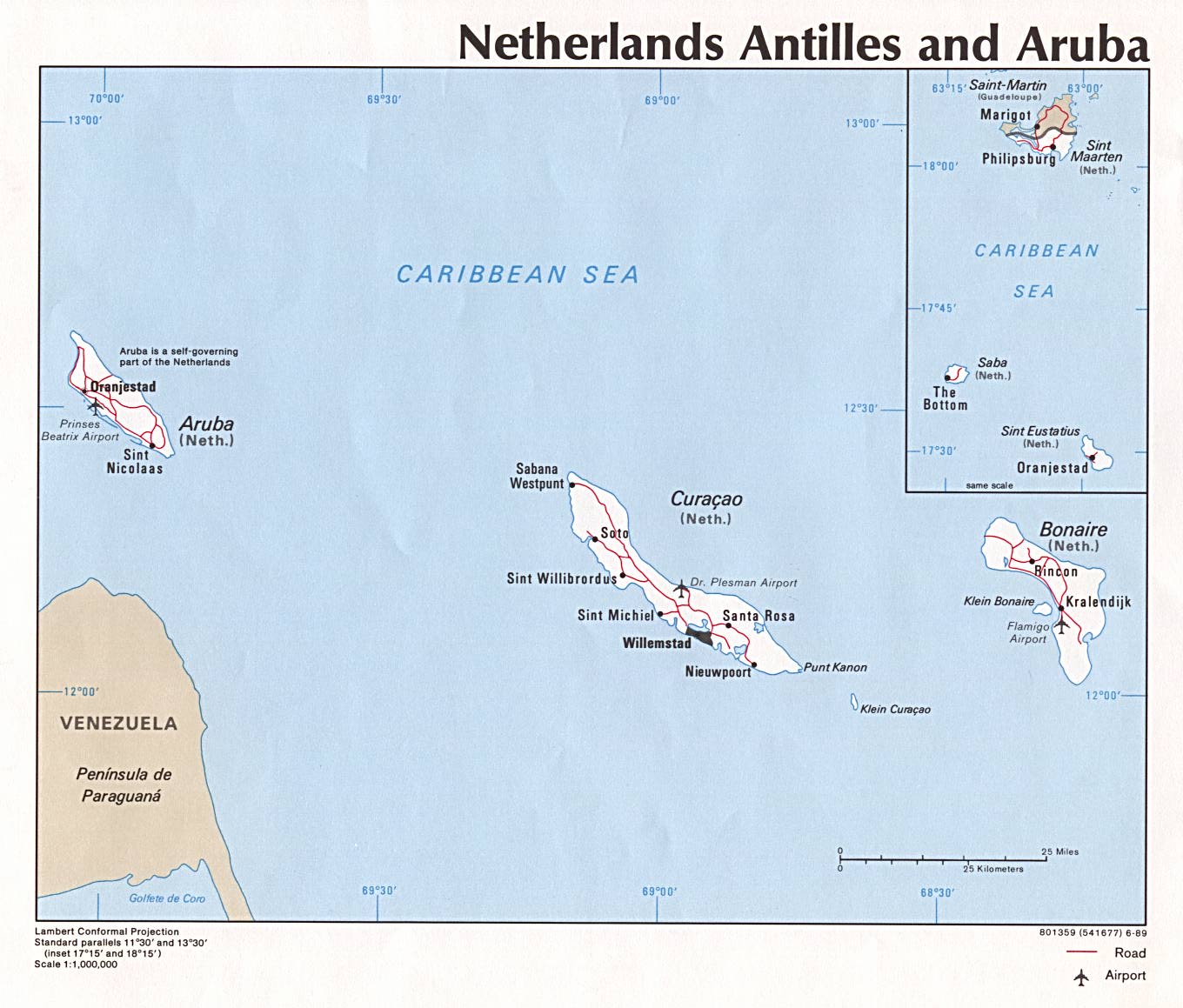
Conformal projection and political map featuring Aruba, Bonaire and Curaçao (ABC) islands with inset map of Saba, St. Eustatius, St. Martin/St. Maarten islands. depicting roads, airports, and major cities. Scale 1:1,000,000. 1989. (172K)
Category: Top : Regional : Caribbean : Netherlands_Antilles : Maps_and_Views
Link Type: Lock this listing - So it can't be removedLock this listing - and upgrade it to FeaturedReport this listingAdd a regular link to the same category
ScreenShot:
Netherlands Antilles and Aruba